Then & Now: Mahaiula Bay–Surfing & Shipwrecks

By Pete Hendricks
When the northwest ocean swell is big—usually in fall and winter—a large offshore patch of surf can be seen clearly from Ka’ahumanu Highway, three miles north of Keahole Airport.
Mahaiula Bay—now known as Kekaha Kai State Park—has long been a prime, traditional surf site. John Papa I’i, who grew up in the court of Kamehameha I, noted in Fragments of Hawaiian History, “The surf of Kapuailima is in Kawaihae, and Kahaleula is in Mahaiula.” Today’s surfers consider the seasonal break at Kawili Point one of the best.
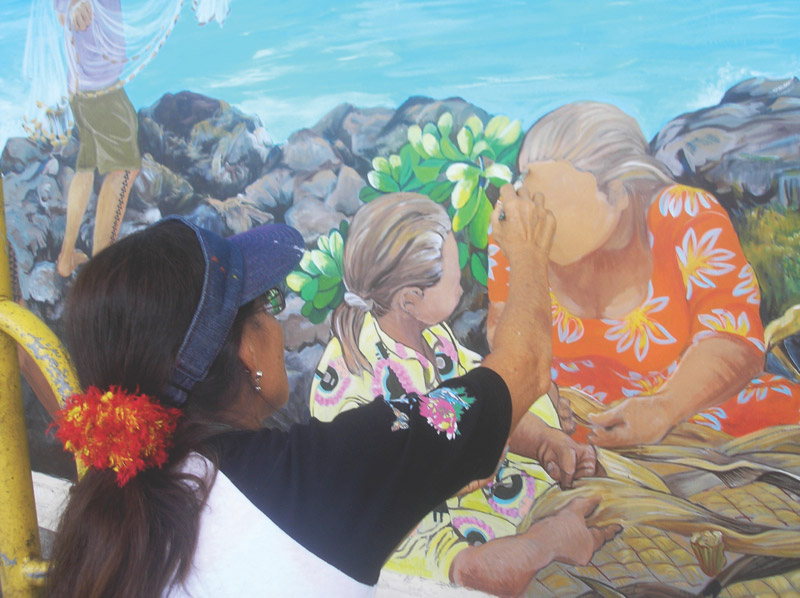
Mahaiula was once the site of a small, but thriving, Hawaiian fishing community. Fishermen brought offerings to Pohaku o Lama, a stone standing in the ocean almost at the water’s edge. The stone represents a female deity thought to be menstruating when the bay turns reddish brown during the spring months when algae bloom. The bay is still an important nursery area for juvenile fish such as pua, or young mullet.
Hawai‘i Island has no interisland, seagoing passenger service here at present, but until the mid-20th century, people often traveled interisland, first on canoes, then on small schooners, and later, aboard steam-powered ships. However, the majority of all things residents use still arrives in the islands by sea, and is then towed interisland by tug and barge.
Mahaiula Bay contains two shipwrecks highlighting its seagoing transport traditions.
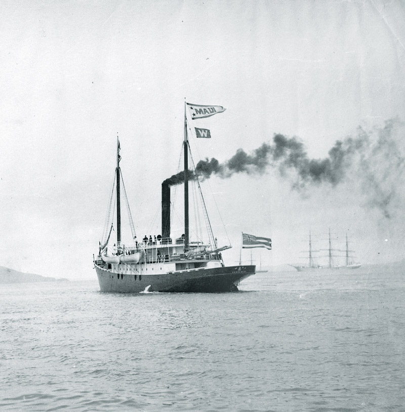
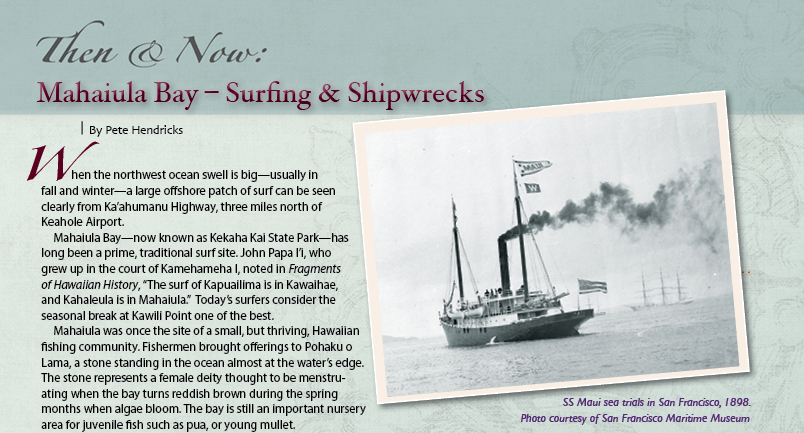
In 1917, as the U.S. Senate was debating entry into World War I, the steam schooner Maui was in her 19th year of service to the Hawaiian Islands. Built at Union Iron Works in San Francisco in 1897-98 for Wilder Steamship Company, the SS Maui was a 171-foot, combination cargo and passenger steam schooner weighing 619 gross tons. With a triple-expansion steam engine of 50 net horsepower, she could carry 30 cabin and 150 deck passengers, who brought their own mats for sleeping on the steel decks.
Although steam engines were primary power, all the steam schooners of that day still carried sails, which provided more speed when the wind was right, as well as providing stability in the rough interisland channels. Interisland vessels of that day had to be flexible and able to carry everything from people to pigs to provisions—both live and bulk cargo.
Harbor facilities along Hawai‘i’s western coast were minimal in 1917. Ships of any size had to anchor offshore and transfer passengers and cargo by smaller, double-ended boats, called lighters. Hawaiians, with their seagoing and surfing culture, were naturals for ship-to-shore transfer, often taking lighters through challenging surf and back at the early landings. Kailua-Kona and Kawaihae, the main landings, had small docks, but in water too shallow for ships. Navigation along the coast could be difficult, especially at night, where vast expanses of dark lava met the ocean. The only lighthouses in the area were Keahole Point and Kawaihae.
On March 19, 1917, the Maui was carrying a full load of 13,360 bags of sugar from Kohala Plantation en route to Kailua-Kona. Just after midnight, the Maui encountered a severe local storm, likely a “Kona” storm from the southwest. Captain Williamson decided to run for the nearest shelter at Kiholo Bay, but the ship’s course was set too close to shore, due partly to a compass error. The Maui drove aground under power on the hard, pahoehoe lava bottom off Mahaiula Bay. The captain sent a ship’s boat toward Kailua-Kona, which arrived there about 4 a.m. However, a Mr. Maguire up at Huehue Ranch on Hualalai mountain heard the ship’s whistle and saw its lights. Knowing there was trouble, Maguire called the Maui’s company man in Hilo, who telegraphed Honolulu, as there was wireless interisland communication by 1917.
The captain and crew all survived and several attempts were made in the following month to salvage the Maui, but she was stuck too fast to the reef, and eventually broke apart. Maui’s remains still lie offshore in water about 25 feet deep on rolling hills of pahoehoe lava in Mahaiula Bay. The engine, boiler, and parts of the hull structure survive to this day.
The Maui wasn’t the only vessel to meet its doom upon the pahohehoe at Mahaiula.
After the shock of the Japanese naval air attack on Pearl Harbor on December 7, 1941, there was a flurry of military activity throughout the islands. Martial law was declared the same day, as a follow-up invasion was considered likely. Very shortly, a fleet of patrol vessels, both military and civilian, was organized to patrol and defend Hawaiian waters. A number of sampans, primarily owned by Japanese fishermen, became part of the fleet. One such sampan, Fuji Maru, became U.S. Navy YP 183.
The Fuji Maru had been built by the S. Funai boat shop in Honolulu in 1930; she was much larger than the original fishing sampan brought from Japan aboard a freighter in 1899. Hawaiian sampans evolved into the high-bow, narrow-entry hulls with sponsons along the sides to resist capsizing in the short, steep seas of Hawai‘i. By the 1930s, Japanese commercial fishermen dominated the industry, and the shoreline along what is now Kewalo Basin and Ala Moana Park in Honolulu was a sea of sampans. The target fish for Fuji Maru was tuna, up to 500 a day, caught by pole and line off the stern of the boat. A number of sampans also fished out of Hilo, usually on one-day trips.
The YP 183 was a large boat, 71’2” long by 13’7” beam, 39 gross tons, powered by an Atlas diesel 135 HP engine. Among her ordnance, YP 183 carried a rack of five, old-style “ash can” antisubmarine depth charges. YP 183 “grounded” while she was on patrol off West Hawai‘i on January 12, 1943, according to Naval Historical Society records. Another Kona storm? January is a prime storm month in Hawai‘i, and anyone caught offshore in a blow can appreciate the intensity of local Hawaiian storms.
Today, the spread of debris from YP 183 is impressive. Parts are in the bay and some parts are up in the trees above the beach. Large timbers lie up on the pahoehoe lava where they have baked and become desiccated over the years. Reports of extensive damage to Pu’uwa’awa’a Ranch structures at Kiholo Bay in the 1946 and 1960 tsunamis point to significant runup of the ocean at Mahaiula Bay also. Tsunamis probably moved parts of YP 183 inland. Severe storms can also push waves far up on the beach. If you look closely at low tide, the YP 183 engine can be seen in one of the sand channels directly off the beach at Kaelehuluhulu (Second Beach). Also close inshore are several tanks and assorted metal debris. The depth charges were removed years after the wreck.
Mahaiula Bay is now a natural, cultural, and historical legacy for Hawai‘i’s people.


