The Ala Kahakai Trail: A Walk through History into the Future
By Jan Wizinowich
Hawaiʽi Island’s history can be found along its coastal and mauka (mountain side) to makai (ocean side) trails, a network imprinted by the hands and feet of those who came before. The coastal ala loa trail (Hawaiian trail system, literally translated as long path) formed the backbone of that network, supporting communication and commerce between ahupuaʽa (districts). “Trails were that connectivity of families, of commerce, really survival and thriving, both mauka, makai and along the shoreline. There’s nothing that went on in Hawai‘i that didn’t have to do with trails,” said Ala Kahakai National Historic Trail (AKNHT) interpretive ranger, Nahaku Kalei.
Once circumnavigating the entire island, the coastal trail corridor, which is alive with historic sites, now stretches 175 miles from ‘Upolu Point in North Kohala along the coast and rounding at Ka Lae (South Point), and heads northeast to the Puna shoreline boundary of Hawai‘i Volcanoes National Park.
In recognition of the importance of the coastal trail, the Ala Kahakai National Historic Trail was added to the National Trails System in 2000, under the auspices of the National Park Service (NPS). Studies were conducted, communities were consulted and by 2010 a Comprehensive Management Plan was adopted with an ambitious 15 year goal. “The first 15 years of the plan calls for us to connect Puʽukoholā with Puʽuhonua o Hōnaunau and beyond to Hoʽokena,” said Aric Arakaki, AKNHT superintendent.
History of the Trail

Up through most of the 1800s, communication and transportation were conducted along the trail system. “Although the canoe was a principle means of travel in ancient Hawaiʽi, extensive cross-country trail networks enabled gathering of food and water and harvesting of materials for shelter, clothing, medicine, religious observances and other necessities for survival.” (Ala Kahakai National Historic Trail Comprehensive Management Plan, p. 13)
With the introduction of horses and mules for transportation, wider, straighter trails were constructed to accommodate horse-drawn carts. By the 1850s and evolving over the next 40 years, a government road was built between Kohala, Kona, and Hilo that often diverged from the original ala loa trail, isolating people living in remote areas.
The Great Māhele of 1848 established private property in Hawaiʽi, which led to the Highways Act of 1892, signed into law through the efforts of Queen Liliʽuokalani and the Legislature of the Kingdom of Hawaiʽi. “One of the last acts of the kingdom was the highway act and it dictated that any trail that was in existence at that time was a public right of way,” said Chris Hawkins, coordinator of the Ala Kahakai Trail Association. This has become a critical legal tool, enabling the State to declare public rights-of-ways.
Re-establishing the Trails
When complete, the Ala Kahakai Trail will be the cordage that binds the canoe together. “It’s a system of trails, not one single trail. When we did our consultation with the kūpuna (elders) they said don’t forget to include the mauka to makai trails because that’s the trails we use to access the mountains and the sea to gather,” said Aric.
The 175 mile trail includes four national parks and traverses 220 ahupuaʽa. “There are descendants with ancestral ties to the trails, its ahupuaʽa and its history. Communities said they wanted the chance to manage their shoreline areas. It was all based on the ahupuaʽa,” said Aric.
To that end, a management plan emerged from the stakeholders along the trail. “We went through a whole consultation process with the community for the management plan. It was vetted by county, state and federal agencies all the way up to Washington D.C. and it all came back positive. We were really happy that they were able to understand this is how we want to manage the trail. It makes total sense,” explained Aric.
The Highways Act of 1892 also makes it possible for NPS to identify and re-establish historic routes. “Now it includes the shoreline trail and the Māmalahoa trail in Waikoloa. Ancient trails, pre-contact trails and then also historic trails. We can preserve routes, even if the trail is not there. It may have been covered by a lava flow or paved over but the route is still there and we can interpret that trail and create public access,” said Aric.
Storied Places
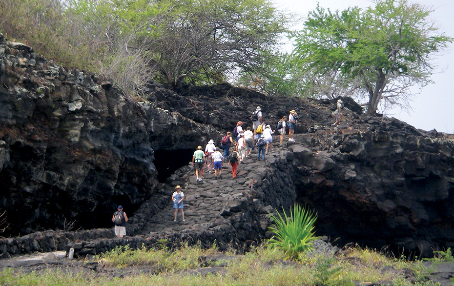
Each section of the trail has its own stories and sacred sites. Beginning at ‘Upolu Point in North Kohala you can walk through history from the birthplace of Kamehameha I to Puʽukoholā Heiau, completed in 1791 as a tribute to the unification of the islands.
A coinciding event south along the trail was the capture of the Fair American. When Captain Thomas Metcalfe of the Fair American anchored at Kaʽūpūlehu in the winter of 1790, he had no idea that Chief Kameʽeiamoku was lying in wait to avenge the flogging he had received from Thomas’ father, Simon Metcalfe, aboard the Eleanora a few weeks earlier. After killing all but one of the crew, Kameʽeiamoku commandeered the Fair American and presented it to Kamehameha.
The lone survivor of the attack was Isaac Davis who, along with John Young, became an instrumental military advisor for Kamehameha’s unification efforts. “There are descendants of Isaac Davis and Kameʽeiamoku who took over the Fair American and we brought them together and created a video with them. That’s a story right there along the trail,” said Aric.
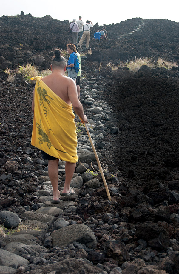
Continuing on the trail, you will be treated to a glimpse of the history of an advanced culture and its sacred sites. “One of the most powerful things that anybody can do is to step onto a trail alignment. It’s really not something you can talk about, but as soon as you are in it, you capture that feeling of all the people who have traveled through these same footsteps you are traveling. You get to see the landscape as they saw it, from very different perspectives,” explained Nahaku.
Community Building
While under the protection of various government entities, there is much more to the trail than the listing of historic sites. The communities along the trail have a vision that includes providing access for traditional practices, protection of sacred sites, education and uniting local communities in an effort to preserve Hawaiʽi’s culture.
This is proving to be a complex endeavor as the fate of each ahupuaʽa along the trail has varied. “Every single one of those alignments has a different agreement with the land owner. So everyone needs to be verified as to who owns that trail. It’s a slow process to do it correctly,” said Nahaku.
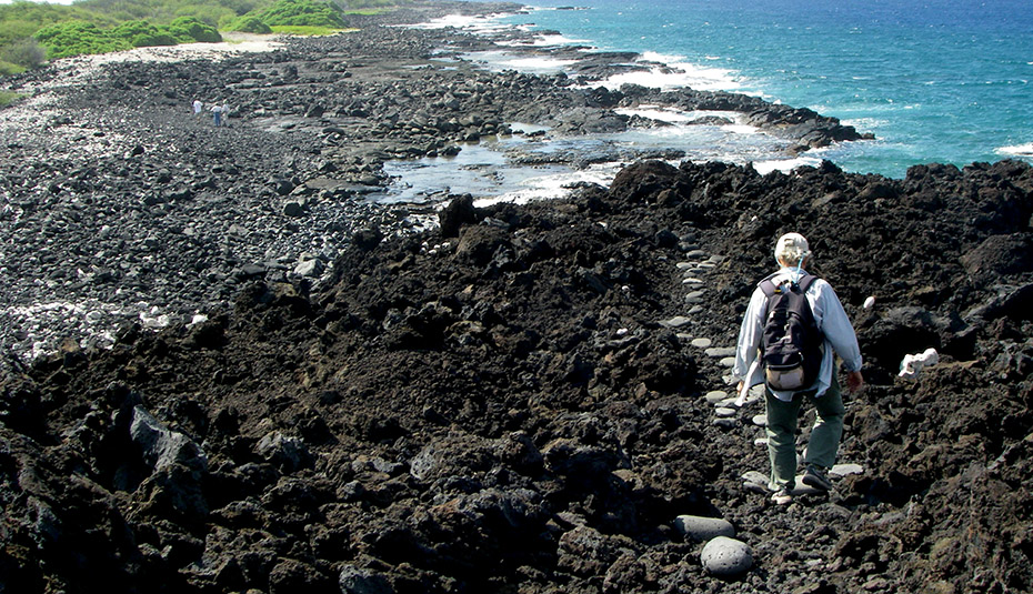
Another NPS focus for the trail is to build the capacity of each community by bringing ancient practices such as salt production into the present as a viable economic support. “We are at the intersection of environmental stewardship, cultural preservation, and agricultural self-reliance. Hawai‘i at one time thrived and there was no dependency on the outside. So how do we encourage and support that kind of movement to be at that intersection as well?” said Aric.
One way that NPS seeks to answer that question is by working with ahupuaʽa community groups to help them build and implement their own shoreline management plans through finding fiscal sponsors and helping with the creation of nonprofits. “We want to see them benefit economically as well, through the creation of livelihoods. That’s why we want to build the capacity of the community, so they can compete effectively in the field of ecotourism and visitor accommodations and try to develop a different kind of paradigm for visitors that come on the trail to be hosted by communities,” said Aric.
Another kind of community-building along the trail is the integration with nonprofits such as E Mau Nā Ala Hele, the Ala Kahakai Trail Association, South Kohala Coastal Partnership, willing landowners and volunteers. “We can’t do it ourselves. This is all based on partnerships, homeowners associations, the willingness of landowners and volunteers. Honokaʽope or 49 Black Sand Beach is a good example. We received a donation from a member of the community to fix a really dangerous section of the trail,” explained Aric.
Walking the Trail
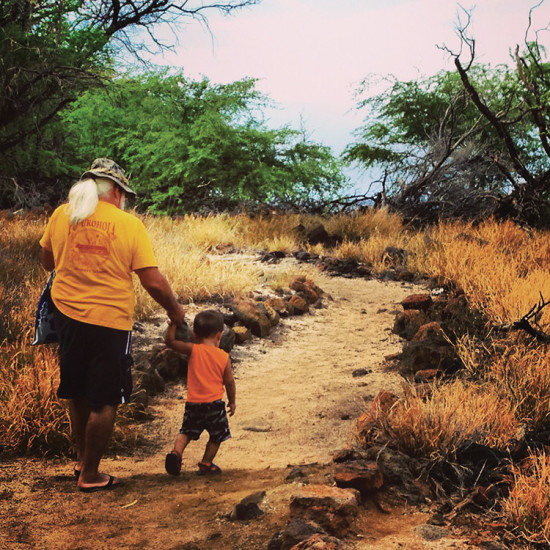
There’s still much work to be done before the entire trail is ready with signage and other safety features. “The policy of Ala Kahakai Trail is to open and make trails public as community-based management plans are established, in place and implemented. Many sections of the trail have not been able to have that happen yet,” said Nahaku.
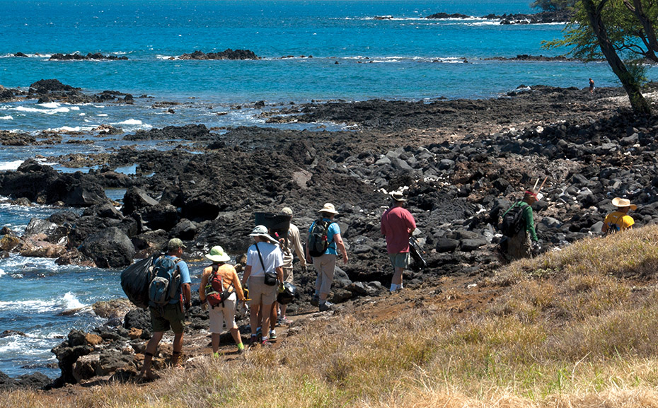
One section of the trail that is officially open begins at Pelekane Bay, going south to ‘Anaehoʽomalu Bay. “We’ve connected with all the resorts, homeowners associations, and the Kohala Coast Resort Association. We’re working with them to provide interpretation and signage,” said Aric.
Safety and protocol are a primary concern. Sacred sites need to be protected and travelers need to understand the particular protocols associated with them and the trail as a whole. “We’re working on a brochure right now that gets into safety and protocol. Eventually we want to frame this as a pilgrimage trail you come on and experience spirituality. You can visit shrines and learn and take it in and come out of it a spiritually enhanced person,” said Aric.
Trail systems like the Ala Kahakai provide a foundational metaphor for human history and life on our planet; they connect us and move us through life. “Trails that you take in your life, a path that you choose. We can interpret the trails of the Polynesians as they moved across the Pacific and then we can even take it back further to the human diaspora out of Africa. All of our ancestors walked on trails and moved across the planet,” concluded Aric. ❖
For more information:
Ala Kahakai National Historic Trail: nps.gov/alka/index.htm
Ala Kahakai Trail Association: alakahakaitrail.org/
E Mau Nā Ala Hele: emaunaalahele.org/
